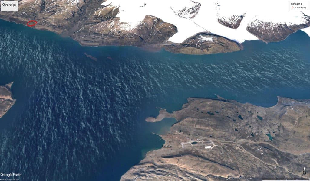
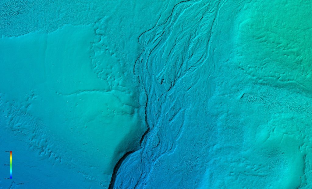
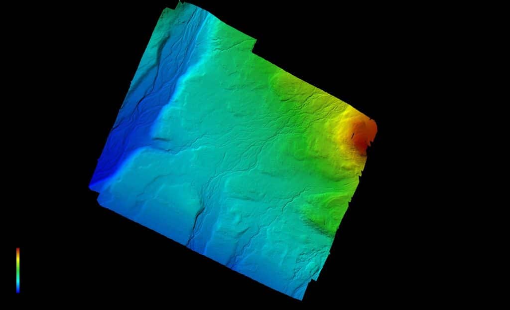
Moriusaq 3D
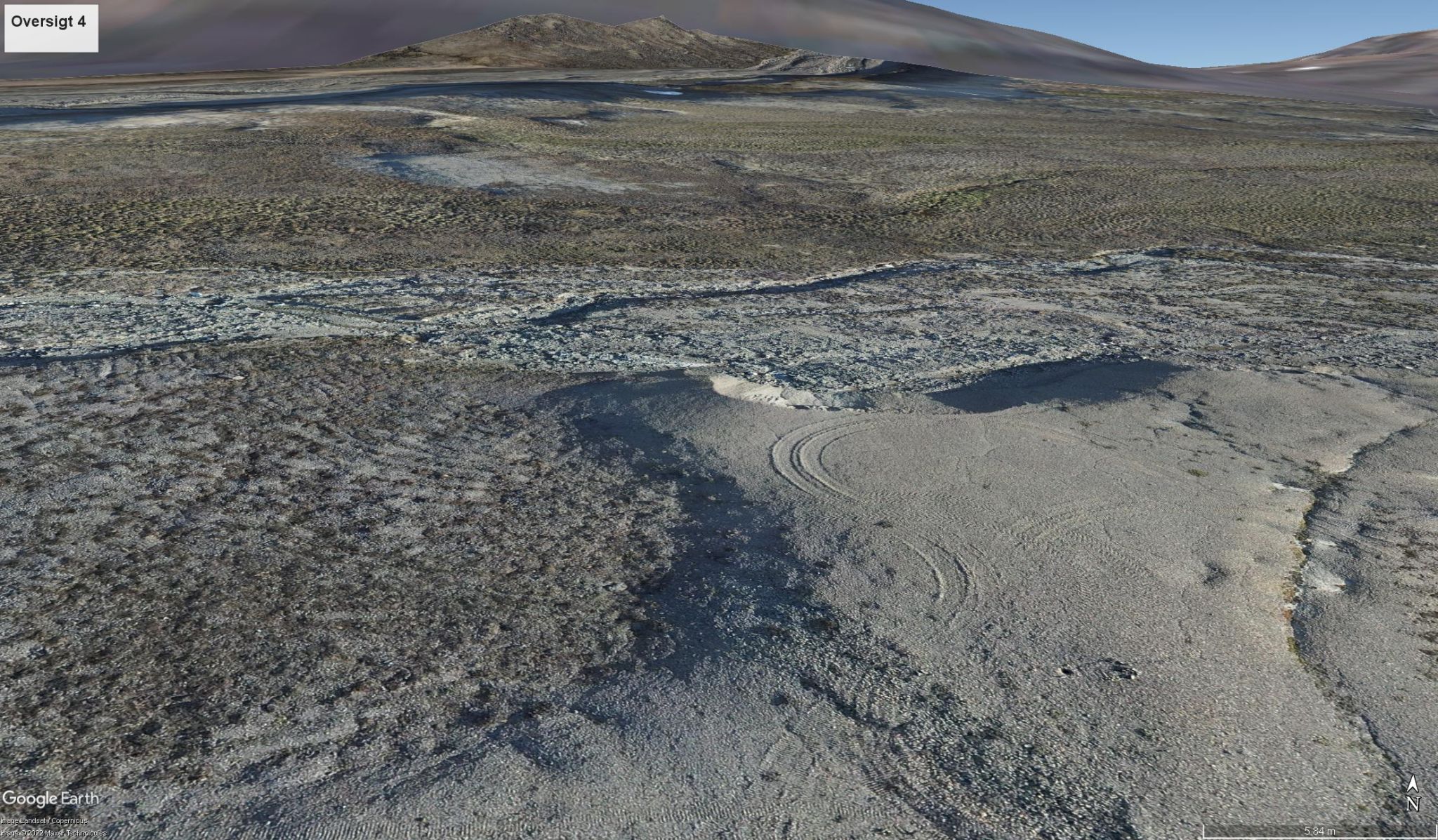
Moriusaq 3D compiles
Our technical manager, Erik – have made some trial compilation of Moriusaq area.
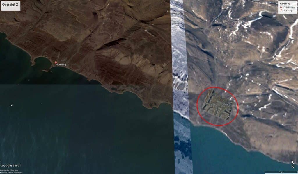
Sune did the piloting with a Matrice 300 RTK with P1 camera, where we assisted a mining company with the precision mapping of an area far North Greenland.
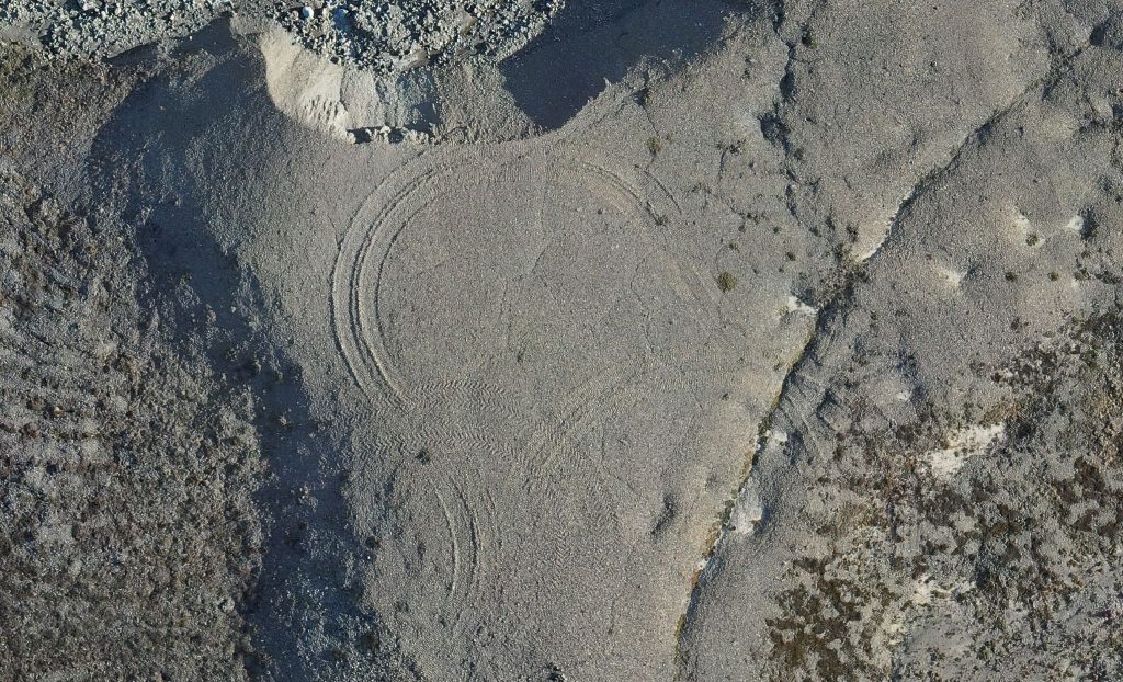
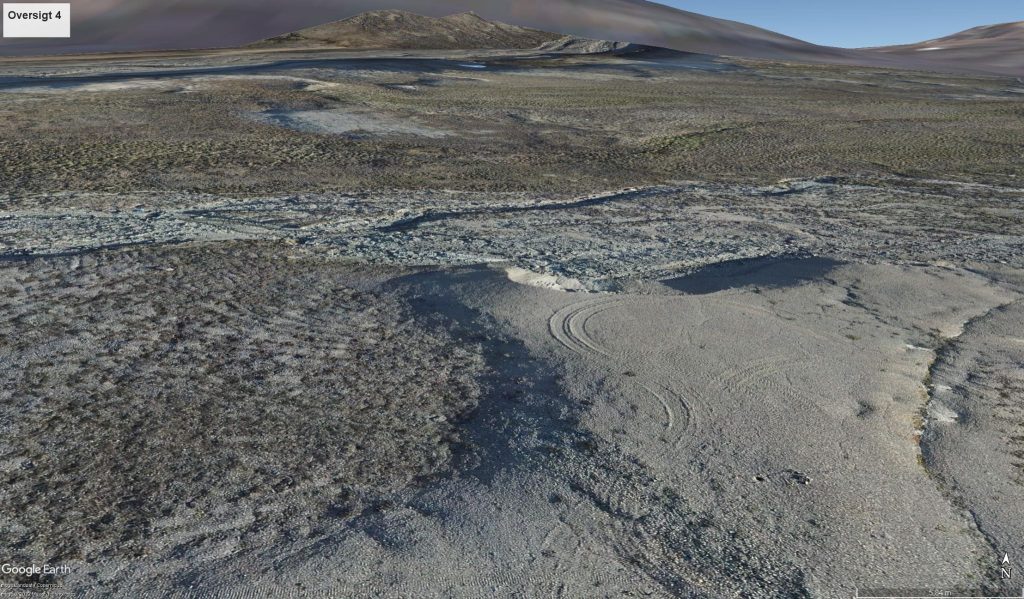
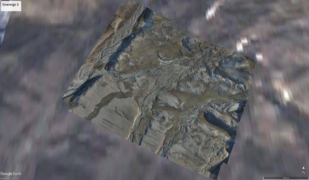
Erik have compiled 3,8 gigapixels 3D mapping with a precision as close as 1,55cm in the whole area.
The 3,8 gigapixel 3D mapping consists of 477 drone footages from around 150-250m AGL.
We did the special approval process and made a temporary restricted area, near Thule Air Base.
The whole process have taken some months of dedicated administrative work. And since the operational area were in close proximity to the Thule Air Base – the coordination were more difficult than normal application.
But the job is done, the client happy – then we are happy.
Erik took some time to compile few different resolutions – and the outcome is fantastic.
Please feel free to contact us at info@arctic-unmanned.com for special assistance.
